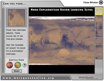
About the images
This activity uses two images of Mars. Each is part of a global
image, using a "cylindrical projection" to show the
planet as flat. It isn't quite the whole planet, since we only
included the places with past or planned landing sites.
The first image is a mosaic from the Mars Global Surveyor (MGS)
orbiter. Many individual images are pieced together to form a
global map. It is a "visible" image, which means it
is about what you'd see if you were looking at Mars in person.
The second is colored based on its elevation: blue is lower,
green or yellow is higher. The elevation image was created using
data from the Mars Orbiting Laser Altimeter (MOLA) onboard MGS.
MOLA bounces a laser off the surface of the planet, then times
how long it takes for the beam to return to the spacecraft. From
that it can calculate its distance from the surface to an accuracy
of a little over a foot. MOLA does this over and over as it orbits,
eventually building up enough data for a global elevation map
of the entire planet.
If you're looking for features that vary in elevation (like flood
channels), this kind of map can make them much easier to see.